Irma means rain in Triangle; chance for floods to west
Hurricane Irma's latest westerly path means impacts on the Triangle will be minimal.
Posted — UpdatedPlan accordingly for a rainy, stormy start to the week.
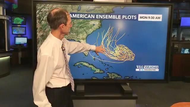
The latest forecast path from the National Hurricane Center shows Irma marching up the west coast of Florida as a Category 3 storm through Sunday night. By Monday afternoon, it is forecast to cross into Georgia, bypassing Atlanta to the west and hitting Alabama Tuesday and Tennessee on Wednesday.
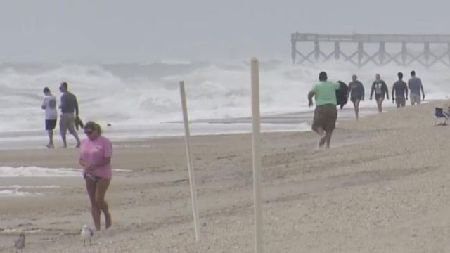
"That leaves North Carolina out of the cone of uncertainty as far as where the track will go, but we may have some bands of showers that come off the storm," said WRAL meteorologist Aimee Wilmoth.
The Triangle will likely see spotty showers through Monday with heavier rain moving in overnight. Winds could gust to 30 to 45 mph in central North Carolina, and up to 3 inches of rain could fall.
The western portion of the state will be more affected, with 2 to 8 inches of rain and wind gusts from 40 to 70 mph. There could be some localized flash flooding or some spotty power outages, said Wilmoth, but the threat for severe weather remains rather low.
Schools in Bladen County planned to operate Monday on a two-hour delay. Schools in Robeson County will be delayed until 1 p.m.
Temperatures will remain mild, with highs in the low 70s, on Monday before things warm up again on Tuesday.
Tuesday's high is 77, but it will be accompanied by wind gusts and thunderstorms originating from Hurricane Irma.
Once the effects of the storm move away, sunshine will return Wednesday. Highs will be much warmer in the mid-80s.
• Credits
Copyright 2024 by Capitol Broadcasting Company. All rights reserved. This material may not be published, broadcast, rewritten or redistributed.


