Latest forecast models show several inches of snow in Triangle
As winter precipitation this weekend becomes more certain, local schools are taking action in preparation for Friday night's forecast.
Posted — UpdatedWayne County Public Schools have officially canceled all after-school activities and events on Friday as well as all athletic events and scheduled programs Saturday.
WRAL Chief Meteorologist Greg Fishel said that while travel risks may be an issue this weekend, it is too early to know how events will play out.
"If you need to make a decision now about something Friday night or Saturday, you may have to get into the risk assessment mode," he said.
In an ensemble of computer model runs, 76 percent of the models showed Raleigh getting 1 to 6 inches of snow. The ensemble took into account 51 different runs, all given slightly different starting weather conditions, Moss said.
Another 56 percent of the runs gave Raleigh more than 3 inches of snow, while 24 percent of models predicted more than 6 inches of snow.
"We're confident that we're going to see snow," said WRAL meteorologist Mike Maze, who noted that the location of the system will play a key role in just how much snow falls.
The American Global forecast model had originally been indicating that the heaviest snow would stay to the south and east of the Triangle but the latest run, released just before 11 p.m. Monday, showed the Triangle could see between 6 and 7 inches of snow.
Fishel said that although models are still unsure about the amount, freezing temperatures will ensure that everything that falls will be frozen.
“Think about how rare that is,” Fishel said. “If you’ve lived here a long time, you know that just about every winter storm or potential winter storm we deal with usually has all sorts of boundaries between rain and freezing rain and sleet and snow and this is one of those rare occurrences where, at least for most of the viewing area, that is not going to be an issue.”
Maze said that current forecast models show the snow beginning at about 6 p.m. Friday and becoming more widespread and steady between 9 p.m. and midnight. The snow could continue to fall through Saturday morning and would wind down by lunchtime, Maze said.
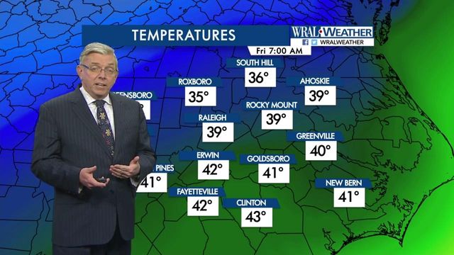
With the snow will come some of the coldest air of the season that could keep temperatures below freezing for more than 48 hours between Friday night and Monday afternoon.
Fishel said if there is a deep snow pack, single digit low temperatures could be possible on Sunday and Monday.
Leslie Logan Brown, owner of Logan's One Stop Flower Shop said it is that time of year when plants need to be covered.
"Plants that are tender or recently planted in the ground will need extra protection because they haven't had a chance to get established yet," she said.
Brown recommends using a light-weight bed sheet to cover outdoor plants.
"You don't want to use anything heavy. You want to use something light and breathable so they can still get air circulating under there," Brown said.
The North Carolina Department of Transportation plans to spread brine on the roads Thursday, late Friday and then all through Saturday, according to a spokesperson for the NC DOT.
• Credits
Copyright 2024 by Capitol Broadcasting Company. All rights reserved. This material may not be published, broadcast, rewritten or redistributed.


