Clouds coming; storms possible Friday
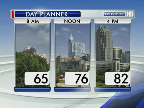
Temperatures climbed into the 80s for the third straight day Thursday across central and eastern North Carolina, but clouds will filter into the area by the afternoon as a powerful cold front approaches the state.
Posted — Updated
Storms associated with the front brought severe weather to the Midwest late Wednesday, spawning a possible tornado outside of St. Louis that prompted an emergency declaration from Missouri's governor.


"This front could bring us some severe weather during the early morning hours Friday," WRAL meteorologist Elizabeth Gardner said. "Areas to the south and west of the Triangle have the best chance for severe storms, but we can't rule it out anywhere through lunchtime Friday."
Showers and sprinkles could reach central North Carolina Thursday evening, but the greatest chance for rain and storms will be overnight and into the morning, making for a wet commute Friday.
"The rain that comes through will knock some of the pollen down and wash it away, but it will be back with us this weekend and for the next several weeks," Gardner said.
Highs Friday will top out in the upper 70s.
Clouds should begin to exit the Triangle by the afternoon hours, setting up a beautiful weekend with cooler temperatures and less humidity.
Highs Saturday and Sunday should top out in the low 70s under mostly sunny skies.
Temperatures will climb slowly back toward 80 degrees during the first half of next week, and the next chance for showers arrives Tuesday and Wednesday.

• Credits
Copyright 2024 by Capitol Broadcasting Company. All rights reserved. This material may not be published, broadcast, rewritten or redistributed.


